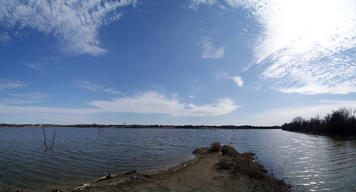
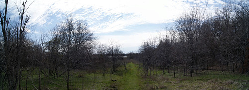
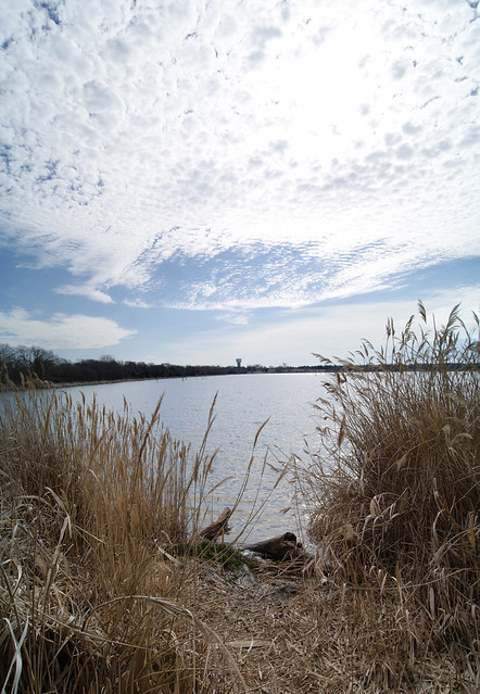
The Water’s Edge Property – Winter Walk
This last weekend I headed out to the Water’s Edge property to get a little exercise and give my stir crazy dog a chance to run and run to his heart’s content. If you’d like to read my earlier post from this summer where I did a similar walk of the property, you can do so here. I decided to return this winter because it would be a much less daunting jungle of poison ivy than it had been last July, and I wanted to document some areas along the waterfront that I hadn’t before.
Below I’ve included a map noting the perspectives from which the photographs have been taken. These images mostly address areas along the edge of the lake, East or South of the railroad.
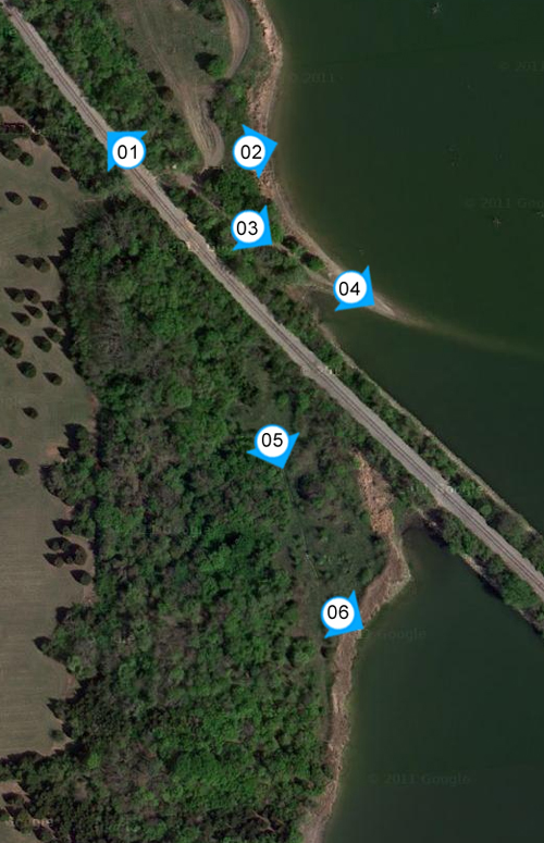
As before, I was again struck with the amazing topography the site offers. While far too many developers would prefer a nice flat site because development costs are much reduced, I feel it’s the sites with movement that often become the most intriguing.
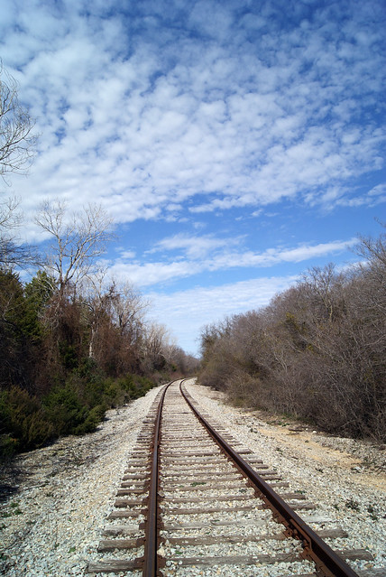
[1] One of the things I noted in my earlier walk was my preconception that the rail would be elevated above the average terrain. In fact, it is quite the opposite, with the great slope of the main property dramatically falling down to the tracks. From there, it’s a short walk to the edge of the lake.
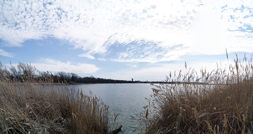
[2] The vista to the lake at the edge of the water is magnificent, but unfortunately where I’m standing is on the north side of the rail tracks, beyond where the City and Planners (to this point) have conceived of the development embracing the lake. This is due, mainly, to the idea of the rail being a formidable obstacle separating any development. Frankly, however, with the elevations of the rail so low, I simply don’t see any reason why an on-grade crossing (or two) couldn’t be an achievable goal within any master plan.
[3] One of the things one notices is the extensive abundance of trees. This is a remarkable feature for any prospective development in this region, and too many master plans have begun with the assumption that all existing vegetation can be bulldozed and mitigated with new planting simply because its a less expensive process than working with the vegetation in place. Any agreement the City embarks upon in this area should have clear qualifiers in the agreement as to how much existing vegetation should remain. Mitigation is an acceptable option of most sites, but this is a singularly unique opportunity in Rowlett, and it would be a shame if the natural assets of the land are ground asunder in favor of a simple caliper calculation that does little to re-invoke the beauty of the existing.
[4] I’ve progressed through the trees on to a point jutting out into the lake. There are some distinctly unique natural land formations in this area, and how they engage the lake holds much potential.
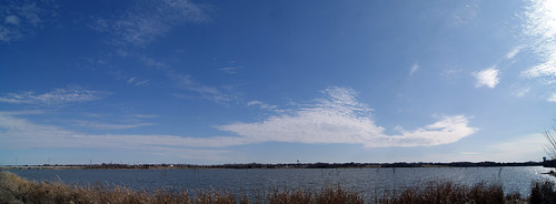
[5] Now, having continued south I’ve again crossed the railroad and am heading back down to the area South of where the railroad shoots out in to the lake. This is the prime portion the developers and the City (to this point) have considered the focal location for the development’s access to the lake.
[6] It really is a beautiful area, but it’s very narrow, and tucked up into the armpit of the land bridge supporting the railroad.
In the end, this property continues to intrigue, even as the appearance of the George Bush Turnpike has been completed and affords significant difficulties for engaging the site. With exits well before and after the property, I’ve become even less excited about the opportunity of any significant amount of retail here, without some manner of destination to draw people in. But that’s a topic for another post.
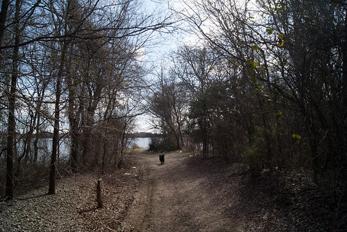
Just one gratuitous shot of the puppy:
